Amsterdam Canal Ring
Amsterdam, Netherlands
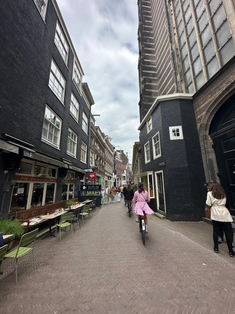
Explore Amsterdam's UNESCO-listed Canal Ring, a 17th-century masterpiece of urban planning in the Netherlands. Discover its rich history, unique architecture, and charming waterways.
Overview
The Amsterdam Canal Ring, locally known as the Grachtengordel, is an iconic and defining feature of Amsterdam, Netherlands. Designated a UNESCO World Heritage site in 2010, it stands as a testament to 17th-century urban planning and hydraulic engineering. This historic area encompasses over 100 kilometers of waterways, approximately 90 islands, and is crisscrossed by more than 1,500 bridges, earning Amsterdam its famed nickname, 'Venice of the North'.
Far from being just a scenic backdrop, the Canal Ring is a living, breathing part of the city, reflecting centuries of history and culture. Its elegant, concentric semi-circular canals, lined with grand merchant houses, offer a unique glimpse into the Dutch Golden Age, when Amsterdam flourished as a global trade hub.
History & Cultural Background
The origins of the Amsterdam Canal Ring trace back to ambitious 17th-century civic planning during the Dutch Golden Age. Faced with a rapidly growing population and booming trade, the city embarked on a monumental expansion project between 1613 and the 1660s.
The master plan, drafted around 1610 by city architect Hendrik Jacobszoon Staets, envisioned three main concentric canals – the Herengracht (Gentlemen's Canal), Keizersgracht (Emperor's Canal), and Prinsengracht (Prince's Canal) – radiating from the city center, along with an outer defensive moat, the Singelgracht. The initial Singel canal had previously served as a medieval moat. This large-scale undertaking was designed not only to manage water and facilitate transportation but also to accommodate the city's expanding population.
The canals were not randomly built; they were a calculated act of urban planning. The land along the new waterways was divided into plots and sold, providing capital for the project and structuring urban growth. A distinct social hierarchy was embedded within the design, with the inner Herengracht reserved for the wealthiest and most influential merchants. The canals quickly became the city's economic arteries, allowing goods to be transported directly to the storage attics of canal houses, visible as the distinctive stepped gables.
What Makes It Special
The Amsterdam Canal Ring is exceptional due to its pioneering urban design and impressive engineering. It represents the largest preserved Renaissance-era urban planning project on Earth. Building on the marshy land required driving over 30,000 oak piles into the unstable ground to support the canal-side houses, a feat of ingenuity for the time.
The architecture of the canal houses is another distinguishing feature. Due to property taxes being based on facade width, houses were built tall and narrow. Their elaborate gabled facades often feature hoisting beams, used to lift goods to upper floors because internal staircases were typically too narrow for large items. Over 7,000 buildings within the UNESCO zone display a range of Dutch architectural styles from 1600 to 1900, with over 1,550 listed as historic monuments.
Its inscription as a UNESCO World Heritage site in 2010 acknowledged the Canal Ring as a 'masterpiece of human creative genius' and an outstanding example of the integration of hydraulic engineering, urban design, and architecture that influenced city planning across Europe and beyond.
Stories, Fun Facts & Local Details
- The Singel canal, the innermost ring, was once Amsterdam's medieval moat, dug in 1480.
- The stretch of Herengracht between Leidsestraat and Vijzelstraat is known as the 'Golden Bend' (Gouden Bocht), featuring the city's largest and most ornate 17th-century mansions, built by the wealthiest merchants.
- Many canal houses exhibit a distinct lean, either forward or to the side. This was sometimes intentional in medieval times to protect lower floors and facilitate hoisting goods, but also results from the settlement of the wooden foundation piles.
- Reguliersgracht is famously known as the 'Canal of Seven Bridges' because from certain vantage points, particularly at the intersection with Herengracht, you can see seven bridges perfectly aligned.
- Around 2,500 houseboats line the canals, providing unique residential spaces. Some are modern, others retain vintage charm, and there's even a Houseboat Museum for visitors to explore.
- Amsterdam has more kilometers of canals and bridges than Venice, with around 165 canals and over 1,700 bridges.
Visitor Perspective
Exploring the Amsterdam Canal Ring offers a captivating journey through history. While a canal cruise provides an excellent overview, with audio commentary available in multiple languages, the true essence is best experienced by wandering its streets.
Walking or cycling along the canal banks allows for a closer appreciation of the intricate gabled facades, charming bridges, and the vibrant life that unfolds here. Key attractions like the Anne Frank House are visible from the water, and several small museums, such as the Grachtenmuseum (Canal Museum), offer deeper insights into the area's development.
It's important to remember that the Canal Ring is a residential area where people live and work. Visitors should be mindful of local etiquette, especially concerning bicycle paths; the red-paved strips are for fast-moving cyclists, and pedestrians should stay clear. The water quality in the canals has significantly improved over the years, to the extent that occasional swimming events are now held.
Coordinates: 4.88969, 52.37403
View on Google Maps💬 How Travelers Describe This Place
Based on community votes
Must See
545Unique
211Photogenic
123Interesting
74Beautiful
20
Traveler Stories
Discover memorable experiences shared by travelers who have visited this place.
No traveler stories yet.
Be the first traveler to share what made this place memorable.
Things to see at Amsterdam Canal Ring



Tour
By
Spot
Discover amazing places around the world. Your journey starts here.
Explore
© 2026 TourBySpot. All rights reserved.