Trekking Routes
Bali, Indonesia
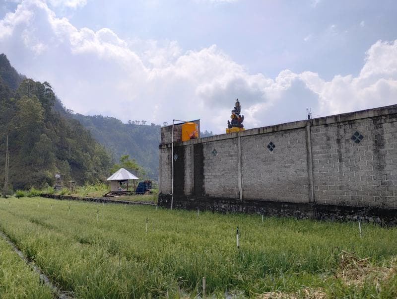
Explore Mount Batur's trekking routes in Bali, Indonesia. Discover its history, cultural significance, and stunning sunrise views from this active volcano.
Overview
The Trekking Routes of Mount Batur, located in Bali, Indonesia, offer an unforgettable journey into the heart of an active stratovolcano. Rising to an elevation of 1,717 meters (5,633 feet) above sea level, Mount Batur is a prominent feature within the Kintamani region and is renowned for its spectacular sunrise views. This iconic natural landmark is nestled within a dramatic double-caldera system, a geological marvel that has earned it recognition as a UNESCO Global Geopark since 2012. The primary draw for adventurers is the pre-dawn hike to the summit, where trekkers are rewarded with panoramic vistas of the surrounding landscape, including the crescent-shaped Lake Batur and the distant peaks of Mount Agung.
History & Cultural Background
Mount Batur's history is deeply intertwined with powerful geological forces and rich Balinese spirituality. The mountain itself was formed around 29,000 years ago by intense volcanic eruptions that led to the collapse of a massive caldera. A subsequent major eruption approximately 20,150 years ago created the inner caldera, which cradles the current Mount Batur cone and the serene Lake Batur. For centuries, the Balinese people have revered Mount Batur as a sacred entity, believing it to be the dwelling place of the gods. It holds particular significance as the abode of Dewi Danu, the goddess of lakes and rivers, who is believed to control the island's vital water sources. Eruptions, while destructive, are often interpreted not merely as natural disasters but as profound messages or acts of divine cleansing from these powerful deities, emphasizing the delicate balance between creation and destruction. Temples like Pura Ulun Danu Batur, located on the caldera rim, are dedicated to Dewi Danu and serve as focal points for rituals and offerings aimed at maintaining harmony with nature.
What Makes It Special
Beyond its geological grandeur, Mount Batur is special for several compelling reasons. Its status as an active volcano allows visitors to witness steam vents at the summit, a tangible reminder of the Earth's raw power. The double-caldera formation, with Lake Batur resting within, presents a unique and stunning landscape found in few other places worldwide. The early morning trek offers the iconic experience of witnessing a breathtaking sunrise above the clouds, casting a golden glow over Lake Batur and the distant Mount Agung, and sometimes even Lombok's Mount Rinjani on exceptionally clear days. Furthermore, Mount Batur's designation as a UNESCO Global Geopark highlights its outstanding geological heritage, cultural importance, and commitment to sustainable development. The volcanic soil surrounding the mountain is exceptionally fertile, supporting diverse agricultural practices that contribute to the local economy and unique ecosystems.
Stories, Fun Facts & Local Details
Balinese folklore is rich with tales explaining the origin of Mount Batur and its lake. One prominent legend recounts how the gods stabilized the island of Bali, which once floated aimlessly, by transporting the peak of Mount Semeru from Java and splitting it to form Mount Agung and Mount Batur. Another fascinating story tells of a benevolent giant named Kebo Iwa, whose enormous appetite led villagers to trick him into digging a massive pit. This pit eventually filled with water to become Lake Batur, while the displaced earth formed the mountain. These legends underscore the deep reverence the Balinese people hold for their natural surroundings. Local communities in the Kintamani region also engage in traditional ceremonies and offer prayers to the mountain spirits, ensuring balance and appeasing the deities. The fertile volcanic soil, a direct result of past eruptions, allows local farmers to cultivate various crops such as tomatoes, chilies, and onions, often without extensive fertilization. The region is also home to the distinctive Kintamani dog, a native Balinese breed.
Visitor Perspective
Trekking Mount Batur is generally considered a moderately challenging hike, accessible to most individuals with a basic level of fitness. The most popular starting point for the sunrise trek is Toya Bungkah Village, though other routes like Pura Jati, Serongga, or Pasar Agung Temple are also used, offering varying degrees of difficulty and terrain. The ascent typically takes 1.5 to 2 hours, covering an elevation gain of approximately 500 to 700 meters, with the entire round trip taking about 4 to 5 hours. The path involves navigating loose volcanic sand, gravel, and rocky sections, which can be steep, particularly closer to the summit. Trekkers usually begin very early, often around 2 AM, to reach the peak before dawn. It's advisable to wear appropriate hiking shoes with good grip due to the varied terrain, and warm clothing is essential as summit temperatures can drop to 10-15°C (50-59°F) before sunrise. While not mandatory in all cases, hiring a local guide is highly recommended for safety and to gain insights into the area's cultural and geological significance. For those who prefer not to hike, jeep tours are available, offering an alternative way to experience the spectacular sunrise from different viewpoints.
Coordinates: 115.3775, -8.23889
View on Google Maps💬 How Travelers Describe This Place
Based on community votes
Photogenic
457Interesting
252Beautiful
147Must See
114Unique
19
Traveler Stories
Discover memorable experiences shared by travelers who have visited this place.
No traveler stories yet.
Be the first traveler to share what made this place memorable.

Tour
By
Spot
Discover amazing places around the world. Your journey starts here.
Explore
© 2026 TourBySpot. All rights reserved.