City Hall Area
Kiev, Ukraine
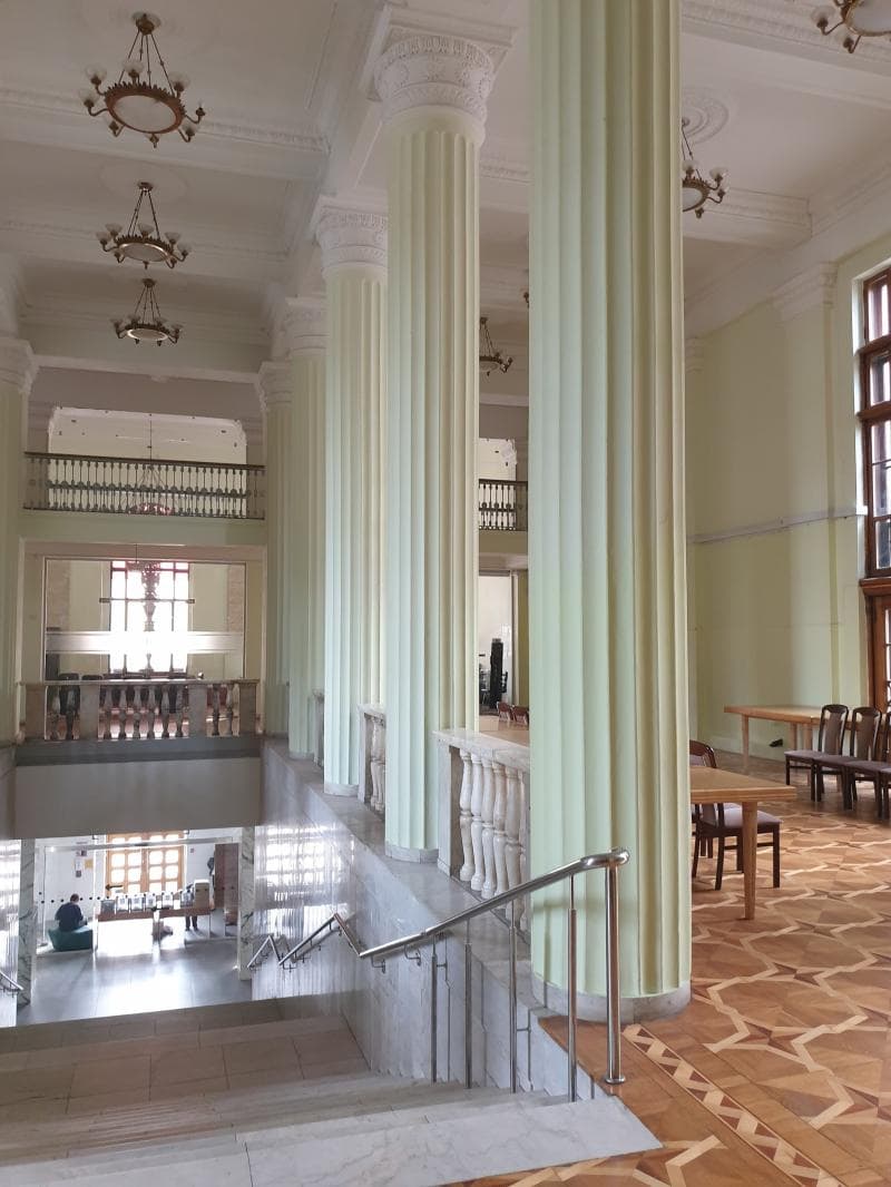
Explore Kyiv's City Hall Area on Khreshchatyk Street, the administrative heart of the Ukrainian capital. Discover its unique Stalinist architecture and rich history.
Overview
The City Hall Area in Kyiv, Ukraine, centers around the impressive building of the Kyiv City State Administration, located at 36 Khreshchatyk Street. This area is nestled within Khreshchatyk, the capital's iconic main thoroughfare. Khreshchatyk itself stretches for approximately 1.2 to 1.3 kilometers, connecting European Square to Bessarabska Square, with the vibrant Maidan Nezalezhnosti (Independence Square) at its heart. The City Hall building stands as a powerful symbol of local governance and a testament to Kyiv's enduring spirit and its post-World War II reconstruction. Its monumental Stalinist architectural style dominates the street, reflecting an era of grand urban planning.
As the administrative core of the city, the City Hall Area is not merely a government complex but a significant urban space that pulsates with the city's daily life and historical echoes. While government functions proceed inside, the wide sidewalks of Khreshchatyk outside transform into a lively pedestrian zone on weekends and public holidays, inviting residents and visitors alike to stroll, gather, and experience the city's unique atmosphere. The presence of chestnut trees along the boulevard, particularly beautiful in bloom, adds to the area's charm and makes it a cherished part of Kyiv's urban landscape.
History & Cultural Background
The history of the City Hall Area is intrinsically linked to the broader development of Khreshchatyk Street. What is now a grand boulevard was once a forested valley known as Khreshchatyi Yar or Khreshchata Valley, used as a hunting ground by Kyivan Rus' princes in ancient times. The name 'Khreshchatyk' itself is thought to derive either from the Slavic word for 'cross' (krest or khrest), owing to the ravines that traversed the valley, or from a legend of Prince Volodymyr baptizing his family in a stream within the valley.
Active development of Khreshchatyk began in the late 18th and early 19th centuries. By the late 19th century, it had evolved into Kyiv's commercial and social center, lined with banks, shops, and hotels. An earlier City Hall (Duma) building was constructed between 1874 and 1876 on what is now Independence Square. This original building, along with much of Khreshchatyk, faced a devastating fate during World War II. In a strategic and ruthless act, retreating Soviet troops deliberately destroyed almost every building on the street in September 1941 using radio-controlled explosives, leaving the city center in ruins.
Following the war, Khreshchatyk underwent a massive rebuilding effort between the late 1940s and 1960s. The street was widened significantly, from 34-44 meters to an imposing 75-100 meters, and reconstructed in the monumental Stalinist Neoclassical (or Stalinist Empire) architectural style. The current Kyiv City State Administration building at 36 Khreshchatyk was constructed during this period, specifically between 1952 and 1957. Architect A. Malynovsky designed this ten-story structure, with its lower three floors faced in red granite and the upper sections in ceramics, embodying the grandeur of the post-war Soviet aesthetic.
What Makes It Special
The City Hall Area is special due to its dual role as the functional center of Kyiv's governance and a prominent architectural landmark. The Kyiv City State Administration building is a quintessential example of Stalinist architecture, characterized by its massive granite façade, imposing columns, and symmetrical design. This style, prevalent in the post-war reconstruction, aimed to project strength and stability, making the building itself a significant piece of urban design history.
Beyond its architectural impact, the area holds deep symbolic importance for Ukraine. It was at the Kyiv City Council building on Khreshchatyk that the first ceremonial raising of the Ukrainian national flag took place on July 24, 1990, a pivotal moment leading up to the nation's independence. This event underscores its significance as a place where key moments in Ukrainian statehood have unfolded. The blend of everyday administrative activity with profound historical resonance gives the City Hall Area a unique gravitas and appeal.
Stories, Fun Facts & Local Details
One of the most striking historical details about Khreshchatyk, and by extension the City Hall Area, is the story of its wartime destruction. The deliberate demolition of buildings by retreating Soviet forces in 1941, reportedly using radio-controlled explosives, marks one of the earliest known instances of such a tactic in military history. This scorched-earth policy reshaped the street entirely, leading to its distinctive post-war appearance.
A fun fact often shared about Khreshchatyk is its reputation as one of the shortest main streets in Europe, despite its impressive width. It's also renowned for its beautiful chestnut trees that line the boulevard, which are considered a symbol of Kyiv and are particularly stunning when they bloom in late April and May, filling the street with white and pink flowers. These trees offer a natural contrast to the monumental architecture, providing shade and a touch of organic beauty to the urban setting.
Visitor Perspective
For a curious traveler, the City Hall Area offers a compelling glimpse into Kyiv's administrative heart and its rich, complex history. Approaching the Kyiv City State Administration building, one is immediately struck by the grandeur of its Stalinist architecture, a powerful reminder of the city's resilience and its rebuilding efforts after wartime devastation. The sheer scale of Khreshchatyk, with its wide expanse and uniform building façades, creates a sense of openness and monumentality.
Visitors can appreciate the blend of history and contemporary life as they walk along Khreshchatyk. On weekends, when the street is closed to traffic, it transforms into a bustling pedestrian haven. Here, one can enjoy a leisurely stroll, observe local life, and perhaps pause to reflect on the significant historical events that have unfolded in this very place, from grand parades to peaceful protests. The area's proximity to Maidan Nezalezhnosti further enhances its appeal, offering access to other significant landmarks and a comprehensive experience of central Kyiv.
Coordinates: 30.5237178, 50.4497495
View on Google Maps💬 How Travelers Describe This Place
Based on community votes
Must See
517Beautiful
422Unique
394Interesting
269Photogenic
145
Traveler Stories
Discover memorable experiences shared by travelers who have visited this place.
No traveler stories yet.
Be the first traveler to share what made this place memorable.

Tour
By
Spot
Discover amazing places around the world. Your journey starts here.
Explore
© 2026 TourBySpot. All rights reserved.